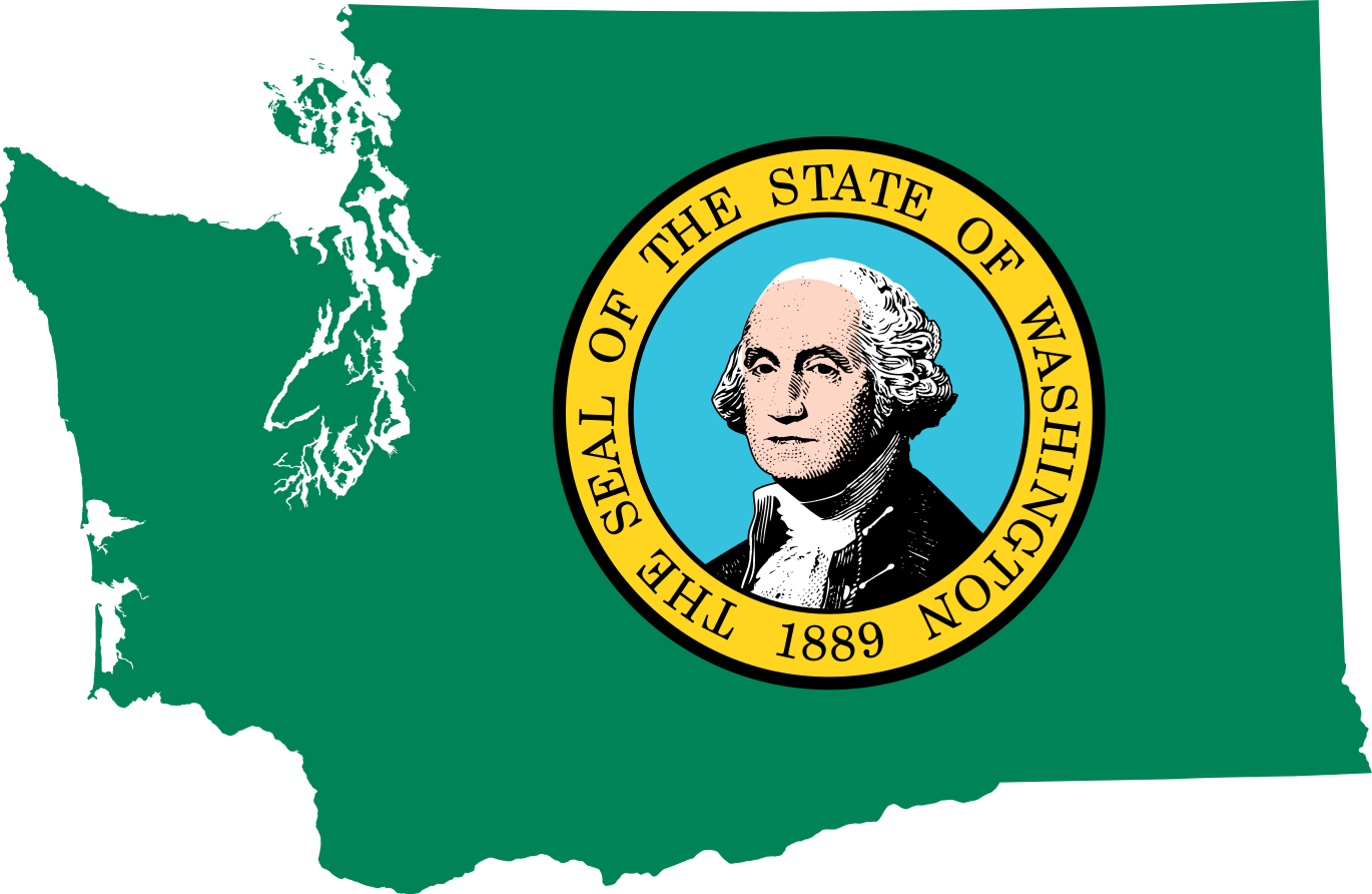
File:Flag map of Washington.svg
From WikiMD's medical encyclopedia

Size of this PNG preview of this SVG file: 800 × 521 pixels. Other resolutions: 320 × 208 pixels | 640 × 417 pixels | 1,024 × 667 pixels | 1,280 × 833 pixels | 2,560 × 1,667 pixels | 1,370 × 892 pixels.
Original file (SVG file, nominally 1,370 × 892 pixels, file size: 485 KB)
| Description | Flag map of Washington |
| Date | (UTC) |
| Source | |
| Author |
|
| I, the copyright holder of this work, release this work into the public domain. This applies worldwide. In some countries this may not be legally possible; if so: I grant anyone the right to use this work for any purpose, without any conditions, unless such conditions are required by law. |
Uploaded with derivativeFX
File history
Click on a date/time to view the file as it appeared at that time.
| Date/Time | Thumbnail | Dimensions | User | Comment | |
|---|---|---|---|---|---|
| current | 19:53, 28 June 2022 | | 1,370 × 892 (485 KB) | Flagvisioner | very minor code reduction |
File usage
The following 39 pages use this file:
- Adams County, Washington
- Asotin County, Washington
- Bellingham
- Benton County, Washington
- Camas
- Chehalis
- Chelan County, Washington
- Clallam County, Washington
- Cowlitz County, Washington
- Douglas County, Washington
- Eastern Washington
- Ferry County, Washington
- Grant County, Washington
- Grays Harbor County, Washington
- Jefferson County, Washington
- King County, Washington
- Kitsap County, Washington
- Kittitas County, Washington
- Klickitat County, Washington
- Lewis County, Washington
- Lincoln County, Washington
- List of Washington state parks
- List of breweries in Virginia
- Pacific County, Washington
- Pend Oreille County, Washington
- Pierce County, Washington
- San Juan County, Washington
- Skagit County, Washington
- Skamania County, Washington
- Snohomish County, Washington
- Spokane County, Washington
- Spokane Valley
- Stevens County, Washington
- Thurston County, Washington
- Tri-Cities, Washington
- Wahkiakum County, Washington
- Whatcom County, Washington
- Whitman County, Washington
- Template:Washington-geo-stub