File:Northwest Territory locator map (1787).svg
From WikiMD's medical encyclopedia

Size of this PNG preview of this SVG file: 512 × 505 pixels. Other resolutions: 243 × 240 pixels | 487 × 480 pixels | 608 × 600 pixels | 779 × 768 pixels | 1,038 × 1,024 pixels | 2,076 × 2,048 pixels.
Original file (SVG file, nominally 512 × 505 pixels, file size: 248 KB)
Summary
| Description |
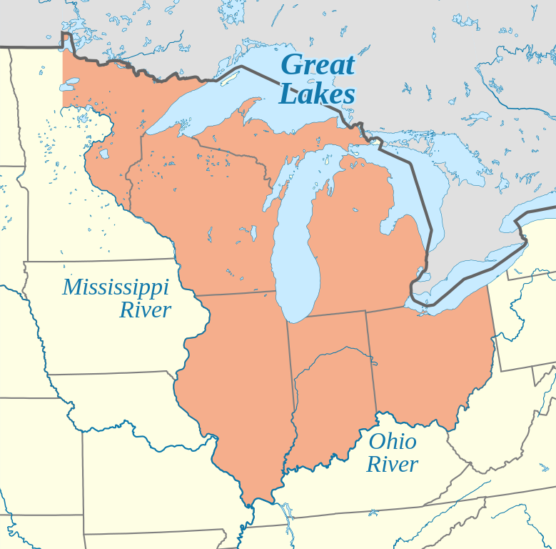
English: Locator map of the Northwest Territory (1787)
|
| Date | |
| Source |
Own work using: This SVG locator map includes elements that have been taken or adapted from this locator map: |
| Author | Isochrone |
| Other versions |
[]
|
| SVG development |
-ca.svg)
.svg)

.svg)
Licensing
This file is licensed under the Creative Commons Attribution-Share Alike 4.0 International license.
- You are free:
- to share – to copy, distribute and transmit the work
- to remix – to adapt the work
- Under the following conditions:
- attribution – You must give appropriate credit, provide a link to the license, and indicate if changes were made. You may do so in any reasonable manner, but not in any way that suggests the licensor endorses you or your use.
- share alike – If you remix, transform, or build upon the material, you must distribute your contributions under the same or compatible license as the original.
File history
Click on a date/time to view the file as it appeared at that time.
| Date/Time | Thumbnail | Dimensions | User | Comment | |
|---|---|---|---|---|---|
| current | 18:15, 5 June 2023 | | 512 × 505 (248 KB) | Isochrone | (grr) |
File usage
The following page uses this file:
.svg)
.svg&mobileaction=toggle_view_mobile)